Thursday, September 12, 2013

Jomla-Lower Dolpo-Dhorpatan Trek's Photo Journey!!!

Our trip started 16th of August 2013, 14 hours Bus journey from Kathmandu to Nepalganj. It was long night Bus journey and got to Nepalganj 17th August in the morning and next day morning we fly to Jumla, from where our actual trekking started and end the trip at Bhurtibang. Overall trip went very well. It was monsoon season here in Nepal. But still weather was quite ok. Except two days, we had wonderful weather with outstanding scenery and splendid view of Snow Mountains.  We had few hard days. But end of the day we were all happy and optimistic for next day. I just want to share these wonderful off the beaten trail pictures with you all. But some point last part of the trip my camera setting went wrong and did not get better pictures. These are the places to go, to visit and to feel the wilderness experience of adventure life…………….

First day of Trekking. Jumla Valley and world highest Rice field.


David and Eva 


Sanu Gothichaur (Small cattle place)


Thulo Gothichaur (bigger cattle place) 


Our camp side at Kudigaon.


Me and Eve on the to Mathilo dolaghat 


Small village before Munisagu


Our party heading toward Mathilo Dolaghat after lunch at Chotra.

Maure Pass 3890m. first pass of the trip.


My team at Maure Pass. 


Yaks near Maure Pass


Resting and wondering the view next to Okhreni village.
Kagmara Pass west Base Camp

Mt. Lhashamma 6412m view near Kagmara west Base Camp..


David and Eve resting on the way up  Kagmara Pass


Kagmara Peak 5978m.


Eva, Me and David at Kagmara Pass 5115m.


Nuru,Me, Troy, Ben, Pasang and Pemba aslo Kagmara Pass of my first trip.

Mt. Kanchauni 6441m. view from Kagmara east Base Camp. 


David and Eva headind down to Pungmo village from Kagmara Pass. 


Shey Phoksundo Waterfall.


David helping Porter load hehehe........... 


David and Eva having Lunch and drying laundry next to Phoksundo  Lake.


Ringmo village next to Phoksundo Lake. 


Statue of Tonpa Shenrab in the Thoshung Monastery, the founder and great teacher of Yangdrung Bonpo religion.
Bonpo's  Monuments beside the Thushung Monastery. 


Wall painting in side Thashung bon Monaster


View of Dunai valley from Khaldanda.


Jagala Pass4535m.


After Jagala Pass


Our Camp side at Purbang


My team friends on the way up Panidal Pass 4400m.


Our Camp side at Thakur.


At Thakur


Mt. Dogari Himal 6536m and Mt Puttana Chuli 7246m 


Mt. Churen Himal 7371m


Mt. Dhaulagiri vi 7268 and Gurja Himal 7193m


Phalgune Pass 3850m last Pass of the trip. 


Do you need further Information?
Please e-mail Local Expert
ambartg@yahoo.com/ambarhg@gmail.com

Sunday, August 11, 2013

Pikey Panorama Trekking


Trekking Grade:  Mild to Moderate
Maximum elevation:  4070m.
Starting point:  Jiri
Ending point:  Phaplu
Duration of Trip: 12 days
Duration Trek:  8 days
Group Size Maximum: 6
Trekking mode: Camping/Tea House
Season:  Late September to May

This 10-12 days Pikey Panorama trek in the lower section of the Everest region is especially designed for those who like to explore nature and are interested in the local culture but may not have time for a longer trip or are unable to go to high elevations. The trip starts from Jiri 6-7 hour’s bus/private car drive from Kathmandu.  The trek follows the traditional route taken by the early Everest expeditions and is still used as the main route into the roadless Everest region.  From Jiri we pass through authentic Sherpa, Jirel, Tamang and Brahman/Chhetri Villages. After crossing the Likhu Khola we climb steadily through terraced fields and along the trail you will find rhododendron, magnolia and pine forests. After leaving Goli village behind us, we ascend further to Ngaur to visit a small and historic monastery. The following day we ascend the summit of Pikey Peak (4040m.) which provides spectacular views of Gaurishankar, Thamsherkhu, Number Himal, Makalu, Everest many other huge mountains. The trail continues through rich summer pastures to Jhapre where another beautiful monastery awaits you at the top of the hill. After arriving in Junbesi, we do a day hike to Thupten Chholing, which is one of the main religious centers of entire Everest region and the home Thulsik Rimpoche. Thulsik Rimpoche is one of the main religious figures of Buddhism and is now in his 31st reincarnation. Returning from Junbesi we fly back to Kathmandu and some sightseeing before you head for home.


Lodges at Lamjura Pass


View Of Lumsa Village


Early morning view of Mt. Numbur and Karelung from Phaplu


View of Solu Valley from Bhittakharka


Do you need further Information?
Please E-mail Local Expert 
ambartg@yahoo.com/ambarhg@gmail.com

Sunday, February 3, 2013

Chisopani-Nagarkot Trek


Chisopani-Nagarkot trek is especially designed for those who don't have much time and want to see country side and mountains. I created this trek as a Taste of Adventure. The three days, two nights trek provides you a unique opportunity to explore the numerous wonders of nature, beautiful scenery of the hills and a spectacular view of mountains.

Chisapani is located north of Kathmandu, 2135m above sea level.  The trek begins from Sundarijal, after a one and half hour bus drive from Kathmandu. The trail ascends following a small river and passes through an area that has been reserved for its’ unique cultural aspects. After you reach Mulkharka, you get a great view of the Kathmandu valley and you will be away from the crowds and hectic pace of the city. After a one and half hour climb from Mulkharka, you will pass Borlang Bhanjhyang and descend about an hour to Chisapani.

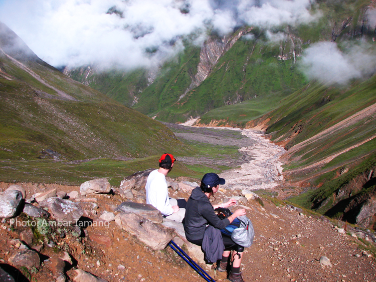
Along the trail you will see the huge Himalaya ranges that include the Annapurna massif and the eighth highest mountain in the world, Manaslu. From Chisapani, the trail heads to the south following the ridges. The trail is easy, with gentle rolling grades. You will see great numbers of mountains all through the day and you may encounter some wild 
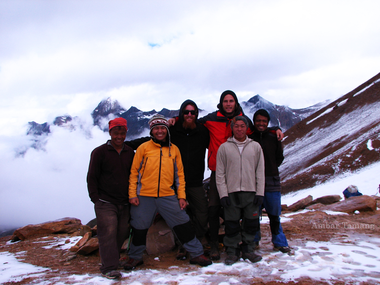
animals. Nagarkot is located East of Kathmandu and is one of the famous tourist destinations of the region. You will have a great opportunity to see a wonderful sunset and this one of the best sunrise locations in the world. Plan to be up early so you won’t miss out. After exploring Nagarkot on the third morning we will return to Kathmandu.


Do you need further information?
Please Email local Expert
ambartg@yahoo.com/ambarhg@gmail.com

Tuesday, January 15, 2013

Ghalegaon-Siklis Research Trip 7-1-2013 with Photo features

Regarding my plan which is to research at least one new area in the off season, where I haven’t been before. This time I went to see the trail between Ghalegaon and Siklis in Annapurna region, from 7th of January to 13th of January 2013. I found the trip unique and totally off the main tourist activities. This off beat track is rarely visited by trekkers. This unnamed rough country trekking for adventure seeker could be great opportunity to explore and enjoy the splendid view of mountains. I named the trip myself Ghalegaon-Karapu Danda-Siklis Trek (GKS). The GKS trek offers unfolded natural beauty, fascinating pattern of Terraced, dense bushy forest and alpine meadows below the towering Annapurna-II, IV and Lamjung Himal are some of the key features of trek that I found.

The GKS trek begins from Ghalegaon after 7-8 hours jeep drive from Kathmandu, where we can experience the hospitality of local Gurung people and their cultural. Ghalegaon also provides spectacular mountain views of Manaslu, Himal Chuli, Ngadi Chuli, Lamjung Himal and neighboring foothills. The trail goes through several big Gurung villages including Bhujung, Pasgaon and Singdi. Bhujung is one of the largest village in the area occupied by Gurung people. There are more than 400 household in such a small area. The trek continues to the west, climbing through the dense bushy forest to the top of the Karapu Danda approximately 3000m. Kaapu Danda is a focal point of the GSF trek and it provides absolutely stunning and closest view of snow peaks including all the Annapurnas, Manaslu, Ngadi Chuli, Himal Chuli, Buddha Himal and Manaslu North. The trek continues further west pass by another two large villages of Gurung people Tanding and Siklis located just in front of Annapurna-II, IV and Lamjung Himal. The trek could end at different point depending on your vacation. Do not miss to explore this wilderness world before getting crowded and commercialized so just go and feel the excitement.  
  
Siklis Village & Annapurna-II, IV & Lamjung Himal
Sunset view  on the way down from Karpo Danda
View from Karpo Danda
At Karpo Danda (view point)
View from Karpo Danda
At Upper Kharka
View from upper Kharka
Upper Kharka
Mr. Lok on the way up to Karpo Danda
Singdi Village
Bhujung Village
Bhujung
View from Bhujung
View from Nayu Village
Ghalegaon
The local bus we ride from Besisahar to Ghalegaon


Do you need further information?
Please email local Expert
ambartg@yahoo.com/ambarhg@gmail.com